It happens. A 9-1-1 call comes in and you confirm and enter the location information as accurately as possible from the caller’s words and nothing pops in your CAD. You force the address and hope that it can be found. Your CAD, MSAG and GIS maps are not perfect. They need to be constantly maintained and updated when those “holes” are found. Sometimes, the old style map books that the fire departments put together in the 80’s and 90’s are the best reference.
All the technology we have connected to the 9-1-1 calls for service and the paging that goes out to the first responders for location mapping may not be enough, or correct. Those veterans who still use their old map books can sometimes find the house and front door faster than those who rely solely upon technology.
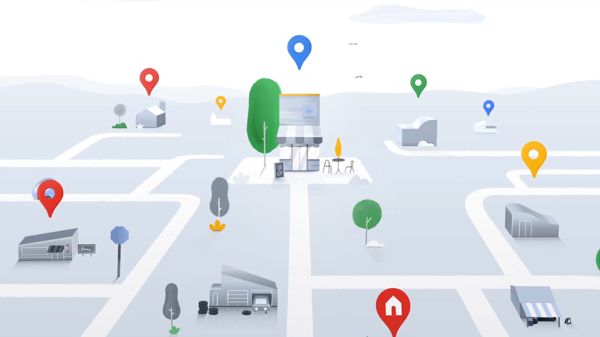
I started working with the fire department in 1989. In those days, the firefighters had detailed hand made maps of the unique waterfront homes and private streets that were not readily accessible on regular maps. Then, in the 1990’s mapping became digital, we could Google a location with a reasonably close location. Now, GIS mapping of some kind is what we use for finding the correct location. There is little need for a paper map or even knowledge ahead of time for a location. First responders even have location apps on their personal smartphones that give directions from their location with the ETA.
However, even with all this great technology, using X,Y,Z coordinates, it still may not be enough.
This past year I moved from my home of 20 years to a condo development. I have had to call 9-1-1 twice for non life threatening emergencies. Both times the squad could not find my front door! The condo’s are unique in design with lots of hills and front and rear entrances. The developer did not number the units in a logical order, hence it is not logical for the first responders.
I have experienced telecommunicators misinterpreting the caller’s location, ie: “Alexander Commons” vs “Alexander Square Apartments”. The TC did not catch it until the squad was on scene at the wrong place. That’s where quick use of the IRR and play back of the caller’s actual words is invaluable. These examples are common. How many times have you experienced the same sort of situations?
Every community is unique, but they all have housing developments, condo’s, apartments, businesses and properties that are easily confused either by name or number. You have senior facilities, hospitals, schools, gated communities with free standing homes; the list is endless for getting accurate locations.
How can you help your PSAP improve mapping data for your neighborhoods and businesses?
Your CAD likely has the ability to add a pdf to a specific address, add the in-house made maps. Neighborhoods with difficult house numbering add location notes to specific addresses (like my condo) as you are made aware. Contact developers or property managers to get names and location information. Senior living communities have directors or security that can provide the same.
The callers don’t know what we don’t know. The phone service provider may not be sending good data; with a 9-1-1 call the ANI/ALI, or ten digit dialing caller ID. The caller can change that by contacting their service provider, either cellular, VOIP, PBX, POTS landline. So can you as the telecommunicator.
Technology is always changing, so too is location based technology. Equature has partnered with RapidSOS to provide even more detailed information about a caller to the PSAP. We would be happy to explore this addition to your PSAP with you at any time. Stay safe.
By Karen Gregorcic, ENP
Recent Comments